Introduction:
The American Revolutionary War stands as a pivotal moment in history, marking the birth of a nation and the struggle for independence from British rule. Through the lens of cartography, we embark on a journey to explore the battlegrounds and strategic locations that shaped this historic conflict. In this article, we delve into the significance of maps in understanding the American Revolutionary War, and we invite you to explore our website for an interactive experience through a detailed American Revolutionary War map.
Mapping the Conflict:
Maps have always played a crucial role in warfare, providing commanders with vital information about terrain, troop movements, and strategic positions. During the American Revolutionary War, maps were indispensable tools for both the British and American forces. They helped generals plan their campaigns, navigate unfamiliar landscapes, and gain insights into enemy positions.
One of the earliest and most famous maps of the American Revolutionary War is the Fry-Jefferson Map, created by Joshua Fry and Peter Jefferson (father of Thomas Jefferson) in 1751. Although predating the war itself, this map provided valuable geographical knowledge of the American colonies, which would prove useful during the conflict.
As the war unfolded, cartographers on both sides produced maps documenting battles, troop movements, and the changing territorial landscape. These maps ranged from simple sketches drawn by officers in the field to elaborate, detailed maps produced by professional surveyors.
The Importance of Battle Maps:
Among the most valuable maps of the American Revolutionary War are battle maps, which depict the locations and movements of troops during specific engagements. These maps provide a visual representation of the ebb and flow of battle, highlighting key moments and strategic decisions.
For example, maps of the Battles of Lexington and Concord, the opening engagements of the war, reveal the tactical maneuvers of both British and American forces as they clashed in the Massachusetts countryside. Similarly, maps of the Battle of Bunker Hill depict the British assault on the fortified American position, illustrating the intensity of the fighting and the strategic significance of the hill.
Exploring Our Interactive Map:
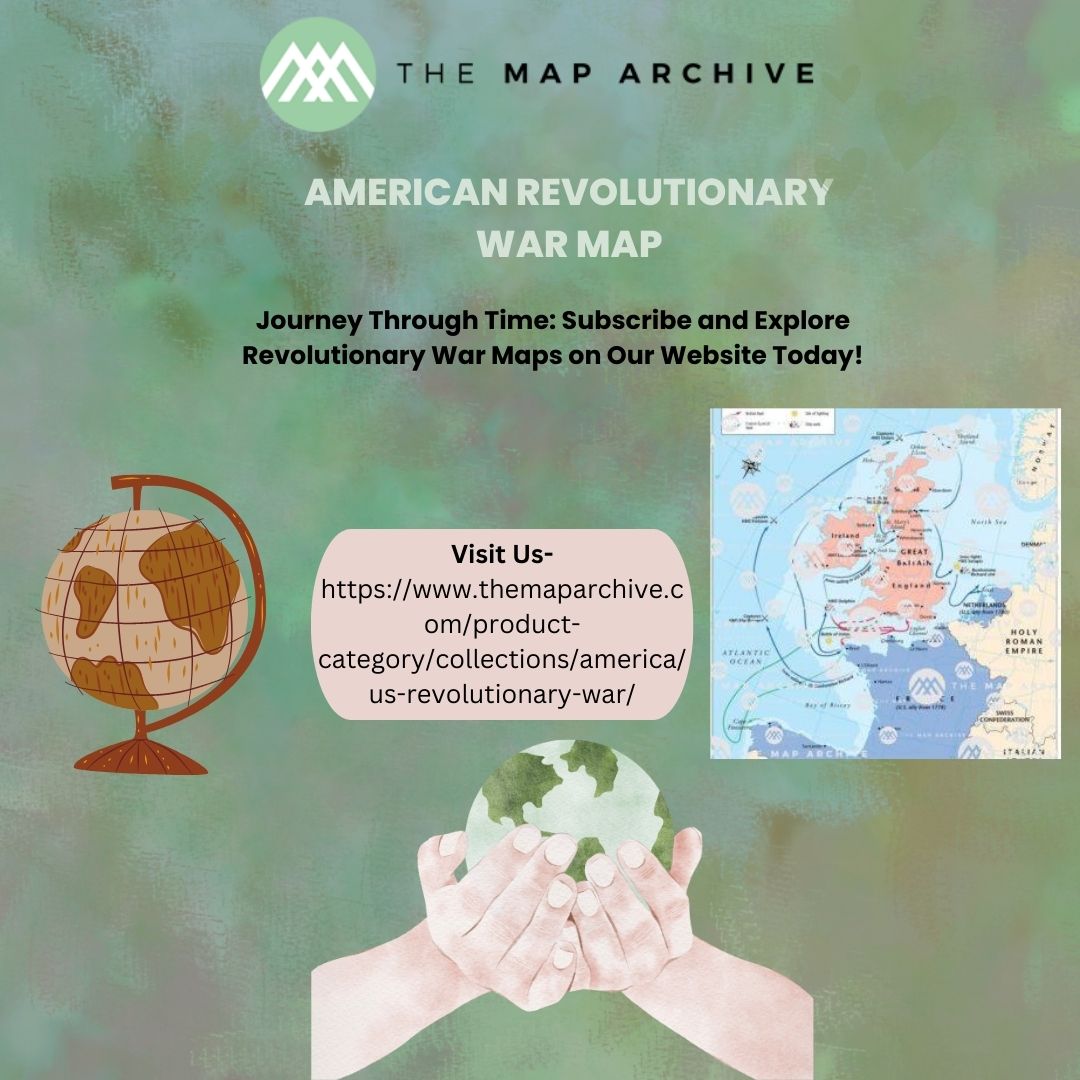
Our website offers an interactive American Revolutionary War map that allows users to explore the conflict in detail. From the opening shots at Lexington and Concord to the decisive Battle of Yorktown, our map traces the course of the war through its major battles and campaigns.
Users can zoom in to examine specific locations, click on icons to learn more about individual battles, and explore thematic overlays that highlight key aspects of the conflict, such as troop movements, supply lines, and strategic objectives. Whether you're a student studying the war for the first time or a history enthusiast seeking a deeper understanding, our interactive map offers a wealth of information at your fingertips.
Beyond the Battlefield:
While battle maps are invaluable for understanding the military dimension of the American Revolutionary War, maps can also illuminate other aspects of the conflict. Maps of colonial America reveal the geographical diversity of the thirteen colonies, from the rugged terrain of New England to the fertile farmland of the Mid-Atlantic and the vast wilderness of the frontier.
Furthermore, maps can shed light on the broader geopolitical context of the war, illustrating the alliances and rivalries that shaped the struggle for independence. Maps of British North America show the extent of British control and the challenges faced by the colonial rebels, while maps of Europe depict the international dimensions of the conflict, with France, Spain, and the Netherlands all playing key roles in supporting the American cause.
Conclusion:
The American Revolutionary War was a complex and multifaceted conflict that shaped the course of world history. Through the lens of maps, we can gain a deeper understanding of the war's strategic, logistical, and geographical dimensions. Whether exploring the terrain of battlefields or tracing the contours of colonial America, maps offer invaluable insights into this pivotal moment in the birth of the United States.
As you explore our interactive American Revolutionary War map - https://www.themaparchive.com/product-category/collections/america/us-revolutionary-war/
, we invite you to delve into the rich tapestry of history and discover the stories of courage, sacrifice, and perseverance that defined this extraordinary chapter in the American experience. Join us on a journey through time and space, and uncover the secrets hidden within the lines and contours of the past.


Comments