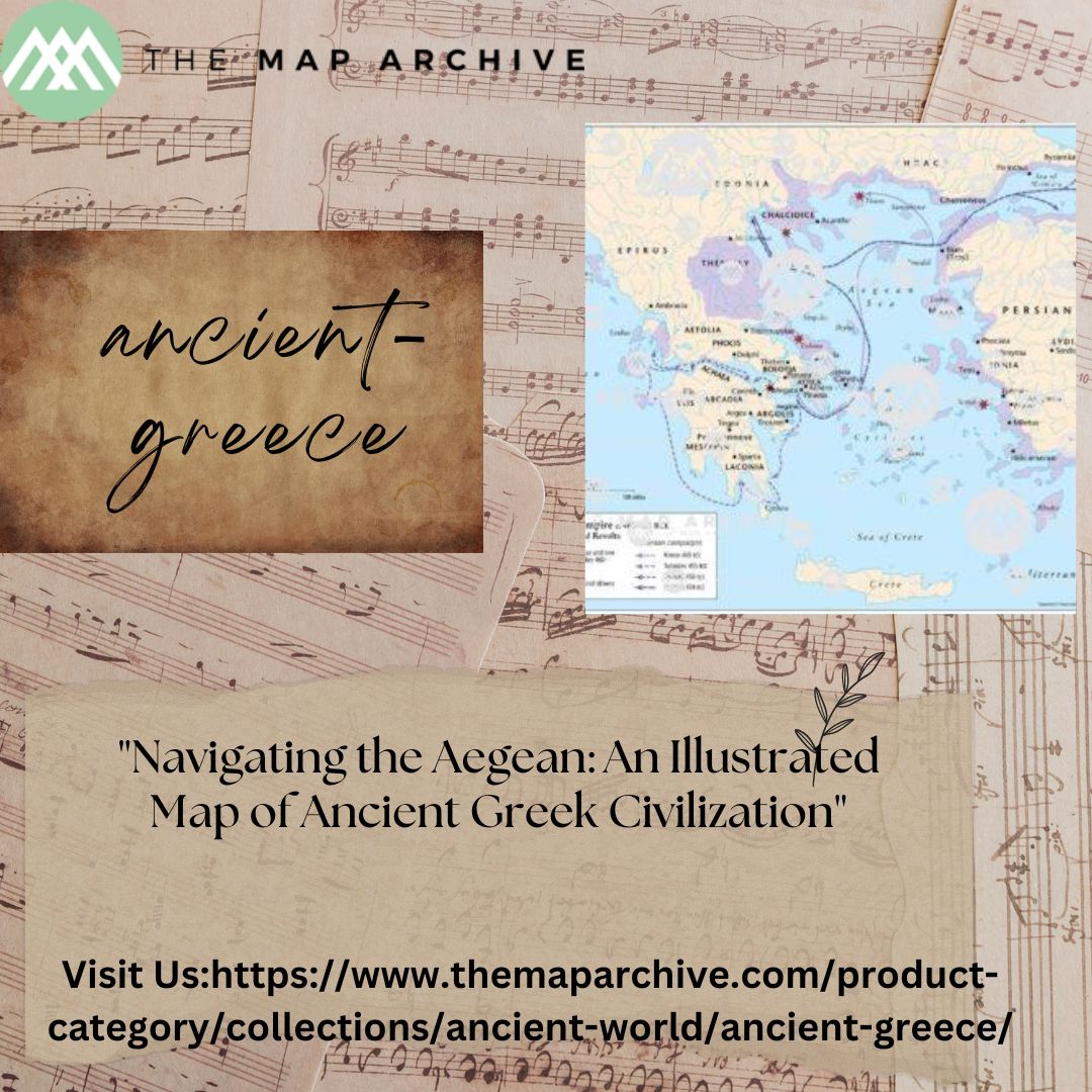
In the vast tapestry of history, few civilizations have left as indelible a mark as Ancient Greece. Nestled in the cradle of the Mediterranean, this land of myths and legends has captivated the imagination of scholars, poets, and adventurers for centuries. One of the most intriguing windows into this ancient world is through the maps that depict its geography, cities, and territories. Join us as we embark on a journey through time and space, unraveling the mysteries of Ancient Greece through the lens of its maps.
The Birth of Cartography
To understand the significance of Ancient Greek maps, we must first delve into the origins of cartography itself. The Greeks were pioneers in many fields, and cartography was no exception. While early maps were rudimentary sketches, often more artistic than accurate, they laid the foundation for the development of cartography as a science.
One of the earliest known maps of Ancient Greece is the famous Peutinger Table, a Roman-era copy of a 4th-century map. Although not Greek in origin, it provides invaluable insights into the geography of the region during antiquity, including the major cities, roads, and landmarks.
Mapping the Known World
Ancient Greek maps were not mere representations of physical geography; they were manifestations of the Greek worldview. The most famous example of this is the world map attributed to the philosopher Anaximander. Created in the 6th century BCE, it depicted the known world as a circular disk surrounded by a vast ocean. While rudimentary by modern standards, it demonstrated the Greeks' early attempts to conceptualize the world around them.
As Greek knowledge expanded through exploration and trade, so too did their maps. The works of scholars such as Herodotus and Strabo provided valuable geographical insights that found their way onto maps of the time. These maps were not only practical tools for navigation but also symbols of Greek intellectual achievement.
City-States and Territories
At the heart of Ancient Greece were its city-states, each with its own unique identity and character. Maps played a crucial role in defining the boundaries and territories of these city-states, as well as their relationships with one another. The most famous example of this is the Athenian Empire, whose dominance in the 5th century BCE is well-documented in historical texts and reflected in contemporary maps.
One of the most fascinating aspects of Ancient Greek maps is their depiction of mythical lands and creatures. From the labyrinth of Crete to the home of the Cyclops, these fantastical elements added a layer of mystery and wonder to the maps of the time. While modern cartography eschews such embellishments in favor of accuracy, they serve as a reminder of the rich tapestry of myth and legend that permeated Ancient Greek culture.
Legacy and Influence
The legacy of Ancient Greek cartography extends far beyond the borders of the Mediterranean. The works of Greek scholars were preserved and disseminated throughout the ancient world, laying the groundwork for future generations of mapmakers. During the Renaissance, European explorers drew inspiration from the maps of Ancient Greece as they set out to chart new territories and expand the known world.
Today, the study of Ancient Greek maps continues to provide valuable insights into the history, culture, and geography of the ancient world. Through meticulous analysis and interpretation, scholars are able to piece together the puzzle of Ancient Greece, shedding light on the lives and achievements of its inhabitants.
Conclusion
In the vast tapestry of human history, few civilizations shine as brightly as Ancient Greece. Through the lens of its maps, we are able to glimpse the contours of a world long gone, yet still alive in the annals of time. From the city-states of Athens and Sparta to the mythical lands of gods and heroes, Ancient Greece continues to captivate and inspire us, reminding us of the enduring power of human curiosity and imagination.


Comments