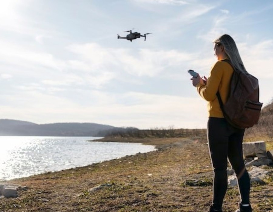
Real estate development has become more efficient thanks to the rise of aerial photography surveying. Traditionally, surveying land for development involved lengthy on-the-ground measurements. With drones and advanced aerial technology, the process has become faster, more accurate, and cost-effective. In fact, many developers are now turning to drones for surveying their properties, ensuring the best possible outcomes for their projects.
What is Aerial Photography Surveying?
Aerial photography surveying uses drones equipped with high-quality cameras and sensors to capture detailed images of land. These images are then used to create maps, 3D models, and other data crucial for planning and development. The drone’s ability to fly at various altitudes offers a comprehensive perspective of a site, something that was harder to achieve with traditional ground surveying methods. This technique is gaining popularity in real estate development because it offers a clear, accurate, and bird’s-eye view of potential sites.
Benefits of Aerial Photography Surveying in Real Estate Development
1. Time Saving
One of the key advantages of aerial photography surveying is the time saved. Traditional surveying methods can take days or even weeks, but drones can cover large areas in a matter of hours. This allows developers to gather the necessary data quickly, speeding up decision-making and project timelines.
2. Cost-Effectiveness
Using drones for surveying is much more affordable compared to traditional methods. There’s no need for expensive equipment or large teams. Drones can cover larger areas in less time, reducing overall costs. This is especially useful for developers looking to control costs while maintaining high-quality data.
3. Improved Accuracy
Aerial photography surveying offers more accuracy than traditional land surveying. Drones equipped with GPS and LiDAR technology create detailed maps and 3D models with high precision. This ensures that developers get accurate measurements for site planning, minimizing unexpected issues later.
4. Better Site Analysis
Drones provide bird’s-eye views of the property, allowing developers to easily assess the topography, vegetation, and surrounding environment. These views help in making decisions about where to place buildings, roads, and other infrastructure, enabling more effective land use.
5. Access to Hard-to-Reach Areas
Some areas of a property may be hard to access, such as steep slopes or dense forests. Drones can easily reach these difficult spots, providing a complete view of the entire site. This is especially valuable for large or remote properties, ensuring developers have all the data they need for informed planning.
How Real Estate Developers Benefit?
Real estate developers rely on aerial photography surveying to gather the data needed to plan developments, analyze the land, and even present their ideas to potential investors. The ability to quickly and accurately capture land data not only saves time and money but also makes the development process smoother. The visuals produced from drone surveys are also excellent for marketing purposes, helping to show potential buyers or investors exactly what the development will look like.
Final Thoughts
As the real estate industry continues to evolve, aerial photography surveying will play an important role in shaping the way developers approach their projects. With the ability to gather accurate data quickly, cut down costs, and provide better site analysis, drones are becoming an indispensable tool in the real estate development process.
Whether you’re working on residential, commercial, or large-scale developments, integrating drones into your surveying methods can lead to more successful and efficient projects. For those in need of precise aerial land surveys in Atlanta, leveraging drone technology ensures high-quality, reliable data to drive better decision-making and planning.


Comments