


If you work in cities or care about safe buildings, you have probably heard the phrase Seismic Analysis. It may sound technical, but at its heart it is simply the science and practice of understanding how the ground and a structure will behave when the earth moves. With growing cities and smarter cities, this problem gets at the heart of how cities plan, manage and safeguard spaces that people live and work.
Press enter or click to view image in full size
Seismic Analysis enables the engineer to estimate how much a site would shake and how a structure would behave. That tells them how the design choices such as the type of foundation and the configuration of the structure and the retrofits for older structures need to be.
The current practice combines classic engineering with the new data driven tools, so the decisions happen faster and better. For simple information on the earthquake shaking and why this matters, the U S Geological Survey provides statistics and summaries.
Seismic Analysis: Why it matters now
The unprecedented growth of urban areas is making cities straining and congested. The enormous earthquakes of the past articulate the damages and costs that the cities face due to the negligence of preparedness and protective measures. For instance, these disasters can quite literally shake the world. Post disasters, organizations such as the World Bank and the Global Facility for Disaster Reduction and Recovery work in coordination to strategically mitigate the damages. The apparent goal of these organizations is to minimize the losses and save as many lives as possible, an investment that pays off in the long run.
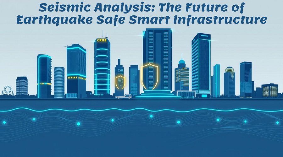
How Seismic Analysis shapes smart infrastructure
Integrated infrastructure combines intelligent devices and systems with bridges, skyscrapers, and key infrastructure components and systems. Seismic Analysis in three different ways supports these systems.
- Risk mapping
Engineers use global and regional hazard maps that show expected ground shaking over a planning horizon. These maps help place critical facilities away from the highest hazard or require stronger design where needed. The Global Earthquake Model produces widely used seismic hazard maps that planners rely on.
- Design and codes
Building codes translate analysis into rules that make life safer. Modern codes focus on protecting lives and limiting damage while allowing buildings to remain usable after moderate events. In the United States and in Europe there are clear guidelines and recommended provisions that designers follow to reduce risk. FEMA and Eurocode materials explain these practical requirements and examples.
- Real time monitoring and adaptive responses
Monitors and control systems that face the problem of capturing the tremors as they happen, stream the data to emergency responders as well as isolating and analyzing the problem. That data allows the systems to shut down gas lines automatically, reallocate traffic, or improve inspection speed. Sensor data in conjunction with Pre event Seismic Analysis vessels data feedback loops to the structures that need care, allowing them to determine their own well being and respond swiftly.
Data and tools that are changing the field
Five major shifts are reshaping how we do Seismic Analysis
- Data abundance
Seismic measurements of a given point alongside GPS and low-cost accelerometers, enables engineers, in the current day, to confirm and fine-tune local site response models in novel ways which were not possible a decade ago. This is made possible as engineers are surrounded by data “streams” all the time. The USGS compiles major assets users with features datasets and widely distributed datasets, and region maps with public access.
- Probabilistic thinking
Instead of a single worst-case scenario, contemporary practice assesses various probabilities and adjusts the cost and safety balance. In the US and even beyond, modern codes and risk maps utilize seismic hazard analysis to estimate the likelihood of shaking a region is subjected to within a defined timeframe. The Global Seismic Hazard Map contains calculations for parameters like peak ground acceleration and values for a 10 percent chance of exceedance in 50 years.
- Simulation and digital twins
High fidelity simulations and digital twin models let engineers run many scenarios and observe how structures fail or survive. When paired with live sensor feeds a digital twin becomes a real time decision aid for emergency management.
- Machine learning and automation
Rescue and Inspection doctors Aim Assist due to the rapid damage estimation tools coupled with the pattern recognition tools. Emergency Response & Support Analytics Centre of the World and other partners uses rapid damage estimation tools in post “big event” recovery planning.
- Better codes and retrofit guidance
FEMA and national code bodies docs to aid in design & retrofitting for engineers and owners. They use practical guides. Instructions and codes are based on the majority of the recent disasters. The recent disasters are used for constructions and retrofitting.
What communities can do today
Local governments and owners do not have to wait for perfect technology in order to make improvements. Adoption of updated seismic provisions in building codes, along with regular inspections of buildings, basic shake detection sensors, and retrofits on schools, hospitals, and critical lifeline systems are all actions which will yield large benefits. Investments today lower economic and human losses in the future, which is shown in disaster assessments.
Looking ahead
As cities become smarter the interplay between Seismic Analysis and real time infrastructure will grow stronger. Imagine networks of sensors that not only detect shaking but automatically adapt building systems to reduce stress and speed recovery. That future is already under way in pilot projects around the world and it will expand as public and private sectors invest in resilience.
Advance your Academic Research in seismic resilience with innovative methodologies shaping earthquake-safe smart infrastructure. Collaborate with a Research Assistant to enhance your study, strengthen data interpretation, and contribute to sustainable structural innovations.
FAQs
Q1: What is Seismic Analysis in one line?
It is the study of expected ground motion and how structures will respond so engineers can design and protect buildings.
Q2: Who uses Seismic Analysis?
Engineers’ planners emergency managers, insurers and policy makers use it to reduce risk and plan responses.
Q3: Can older buildings be made safer?
Yes, many older buildings can be retrofitted with strengthened supports base isolation or damping systems based on analysis results and code guidance.
Q4: Is real-time monitoring expensive
Costs vary widely. Basic sensor networks are affordable and deliver large safety benefits so many cities begin with simple deployments and scale up.
Q5: Where can I learn more
Start with public resources from the US Geological Survey the Global Earthquake Model and FEMA which offer data guides and plain language explanations.
Comments