


Introduction
Leica Geosystems AG, a leading provider of measurement and geospatial solutions, has been at the forefront of innovation in the Real-Time Kinematics (RTK) Market. With the increasing demand for high-precision positioning solutions across industries such as construction, agriculture, and surveying, the company has strategically positioned itself as a pioneer in RTK technology. This article explores the strategies, emerging innovations, and developments adopted by Leica Geosystems AG in the RTK market.
Strategic Approaches in the RTK Market Leica Geosystems AG has implemented a multi-faceted strategy to strengthen its position in the RTK market. Some of the key strategies include:
- Integration of Smart Technologies: The company focuses on integrating smart technologies such as artificial intelligence (AI) and machine learning (ML) into its RTK solutions to enhance precision, speed, and automation.
- Global Expansion and Market Penetration: Leica Geosystems continues to expand its global footprint by forming partnerships and collaborations with industry leaders. This strategy allows the company to cater to a broader customer base while enhancing RTK adoption across various sectors.
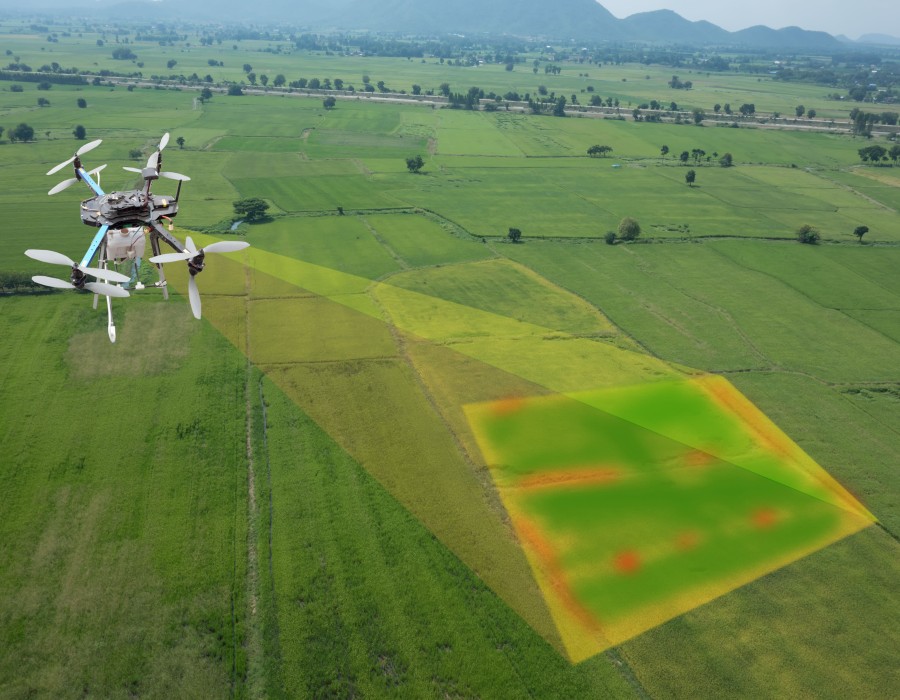
- Customer-Centric Product Development: The company prioritizes customer needs by developing customized RTK solutions that cater to specific industry applications, including land surveying, agriculture, construction, and autonomous vehicle navigation.
- Sustainability and Green Technologies: With a growing focus on sustainability, Leica Geosystems integrates energy-efficient components in its RTK devices and promotes environmentally friendly geospatial solutions.
Emerging Innovations in Leica Geosystems' RTK Solutions Leica Geosystems AG has been actively innovating in the RTK sector to enhance the accuracy and reliability of positioning technology. Some of the most notable innovations include:
- Leica SmartNet GNSS Network: The company has developed SmartNet, a high-precision GNSS network that provides reliable RTK corrections for professional applications. This service enhances the accuracy of RTK solutions, ensuring centimeter-level positioning for users.
- Leica GS18 I GNSS RTK Rover: This innovative product features visual positioning technology, enabling surveyors to capture highly accurate 3D data efficiently. The integration of imaging technology with RTK allows for real-time mapping and enhanced field productivity.
- Automation and AI-Driven RTK Processing: Leica Geosystems is leveraging AI-driven algorithms to refine RTK signal processing, improving positioning accuracy in challenging environments such as urban canyons and dense vegetation.
- Cloud-Based RTK Services: The company is investing in cloud-based RTK services, enabling seamless data sharing and processing across multiple platforms, enhancing efficiency for field professionals.
Developments in the Real-Time Kinematics Market The RTK market is evolving rapidly, and Leica Geosystems AG has been actively contributing to its development in several ways:
- Expansion of Multi-Constellation GNSS Support: The company's RTK solutions now support multiple GNSS constellations, including GPS, GLONASS, Galileo, and BeiDou, ensuring improved accuracy and reliability.
- Enhanced IoT Connectivity: With the rise of the Internet of Things (IoT), Leica Geosystems is developing RTK-enabled IoT solutions for applications in smart agriculture, autonomous robotics, and precision infrastructure monitoring.
- Real-Time Corrections via 5G: The integration of RTK solutions with 5G networks is enhancing real-time data transmission, reducing latency, and improving operational efficiency.
- Improved User Experience and Interfaces: Leica Geosystems continues to refine its user interfaces, making RTK technology more accessible to professionals with varying levels of technical expertise.
Conclusion
Leica Geosystems AG remains a dominant force in the Real-Time Kinematics market, continually pushing the boundaries of innovation and strategic development. By integrating AI, cloud services, and multi-constellation GNSS support, the company ensures high-precision positioning solutions across various industries. As the demand for accurate geospatial data grows, Leica Geosystems’ commitment to research, sustainability, and customer-centric solutions will continue to drive advancements in the RTK market.
Comments